Access to Town Maps
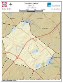
 The Town of Littleton produces a variety of maps created through our Geographic Information System (GIS) mapping for use by both Town staff and members. These maps can be downloaded or printed for your use.
AxisGIS Online Maps allows you to search properties, see property record card information and assessments.
Assessor Tax Maps shows property map details by location.